Articles
Mexican States
Southwest United States
Heritage and Governance
The Family of Antonio Maria Lugo
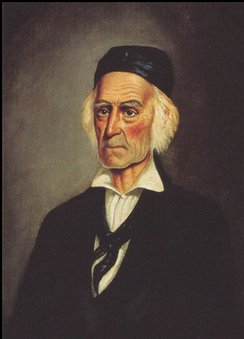
Nicci Lugo (1957-2026) was one of many descendants of Antonio Maria Lugo (1778-1860), a former soldier and prominent rancher who owned extensive land grants from the Spanish and Mexican governments. This article discusses the beginning of the Lugo presence in California in 1774 and tracks one branch of his family to the present day. Without a doubt, the Lugo family is probably the most famous family of Old California. This article is dedicated to my late friend, Nicci Lugo.
Northwest Mexican Railroading
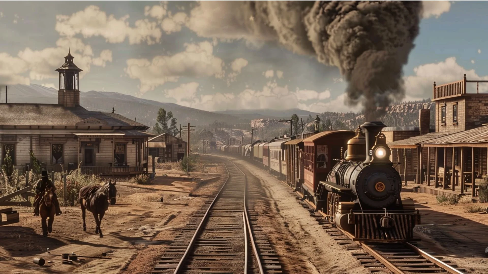
Jonathan explores the development of railroads across northwestern Mexico, focusing on Baja California, Sonora, Sinaloa, and Chihuahua. He examines the expansion of rail networks during the Porfiriato (1876–1911), the role of foreign investment and U.S. railroads, and the economic and cultural impact of rail transportation on mining, agriculture, and migration. The presentation also highlights key lines such as the Ferrocarril de Sonora, Central Mexicano, and Chihuahua al Pacífico, along with important historical events including the Cananea strike and the story of Jesús García, the Hero of Nacozari.

The Enduring Legacy of the Yaquis: Perpetual Resistance (1531-1927)
The Yaqui People are among the most resilient in history. From 1531 to 1927, they viewed all “Yoris” [Spaniards and Mexicans] with suspicion. After converting to Christianity in the 1600s, they cooperated with Jesuit priests until 1767. Following Mexican independence in 1821, they endured nearly a century of warfare with the Sonora and Mexican governments, seeking autonomy but facing warfare and deportation under President Porfirio Díaz. Today, they live in peace but continue to face challenges, with their legacy defined by resistance to protect their land.

The Native People of Nueva Vizcaya and Nueva Galicia
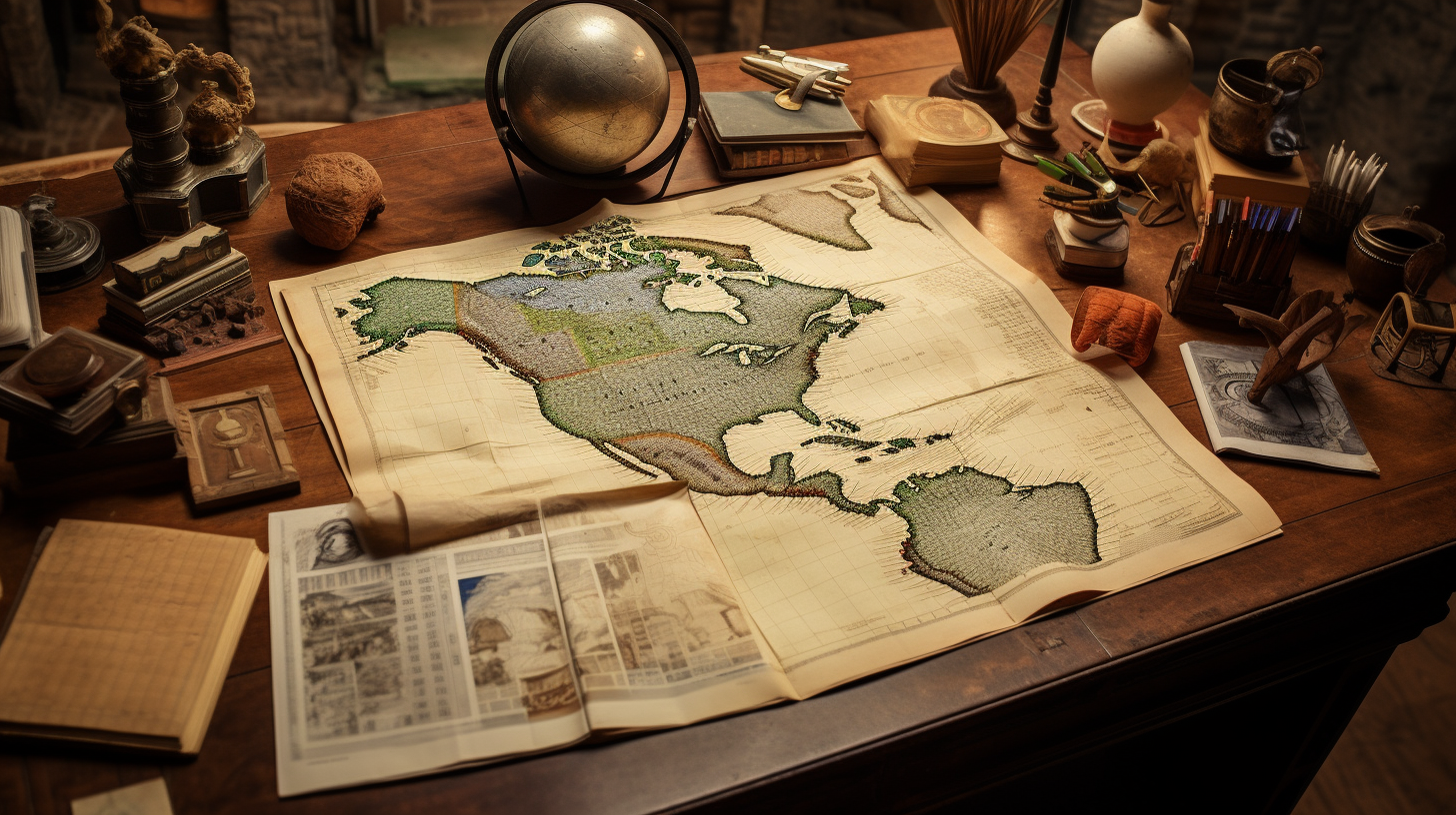
The following tables contain information of the native people of the Spanish jurisdictions in Nueva Galicia, Nueva Vizcaya, Sonora and Sinaloa. These extracts primarily contain information about the indigenous groups occupying these areas at the time of the Spanish contact, the year of which varies from one place to another. However, Peter Gerhard’s book contains a wealth of local information, and it is highly recommended that interested researchers purchase the book to have access to all the information provided.

The First Families of Los Angeles
Has your family lived in Los Angeles for many generations? Do you have any of the following surnames: Verdugo, Sepulveda, Avila, Rosas, Higuera, Lugo, Domínguez, Serrano, Olivas, Ybarra, Palomares, Rodríguez, Reyes, Romero, Valenzuela, Pico or Feliz? Or did you or your family come from the states of Sinaloa or Sonora?

Indigenous Sinaloa: From the Colonial Period to the Present (Part 2)
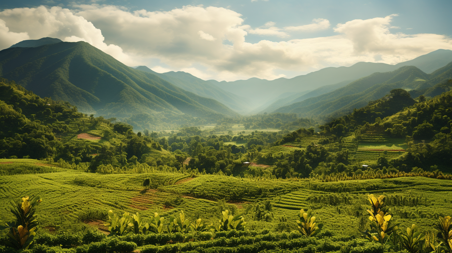
The State of Sinaloa, with a surface area of 58,200 square kilometers (22,471 square miles) is basically a narrow strip of land running along the Pacific Ocean and represents only 2.9% of the national territory, ranking it as the 17th largest state. Sinaloa is bordered to the north by Sonora and Chihuahua; to the south, by Nayarit; to the east by Durango, and to the west, by the Gulf of California.

The Native Roots of Southern Californians
On September 4, 1781, 44 pobladores (settlers) arrived at a location 9 miles west of the San Gabriel Mission to establish California’s second pueblo: El Pueblo de Nuestro Señora la Reina de Los Angles del Río de Porciúncula or The Town of Our Lady the Queen of Angeles by the River of Porciúncula. Later, the name was shortened to Los Angeles. When the 44 settlers arrived in Los Angeles, they and their families settled a short distance from a Kizh Nation village called Yang-na (now referred to as Yaanga) — now near the intersection of Alameda and Commercial Streets (south of the 101) — where 300 natives already lived.

The Original Indigenous People of Sinaloa (Part 1)
The State of Sinaloa, with a surface area of 58,200 square kilometers (22,471 square miles) is basically a narrow strip of land running along the Pacific Ocean and represents only 2.9% of the national territory, ranking it as the 17th largest state. Sinaloa is bordered to the north by Sonora and Chihuahua; to the south, by Nayarit; to the east by Durango, and to the west, by the Gulf of California.
Article Categories
- Aguascalientes 14
- Arizona 4
- Baja California 7
- Baja California Sur 2
- California 22
- Campeche 4
- Census 35
- Chiapas 3
- Chihuahua 10
- Coahuila 6
- Colima 1
- Conquistador Chronicles 2
- Durango 2
- Ethnic Identity 46
- Genealogy 40
- Guanajuato 8
- Guerrero 9
- Hidalgo 2
- Indigenous Insights 103
- Jalisco 25
- Mexico City 10
- Michoacan 7
- Morelos 4
- Nayarit 3
- New Mexico 4
- Nuevo Leon 7
- Oaxaca 7
- Politics 10
- Puebla 5
- Queretaro 1
- Quintana Roo 4
- San Luis Potosi 11
- Sinaloa 8
- Sonora 17
- Southwest US 27
- State of Mexico 5
- Tabasco 3
- Tamaulipas 10
- Texas 8
- Tlaxcala 6
- Veracruz 6
- Yucatan 6
- Zacatecas 14