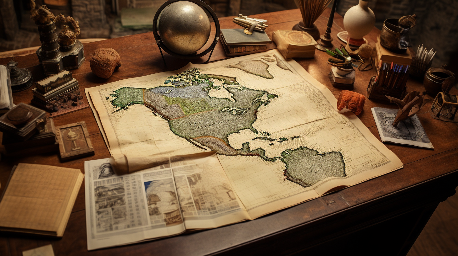
Articles
Mexican States
Southwest United States
Heritage and Governance

Indigenous Guanajuato: From Contact to the Present Day
The landlocked State of Guanajuato — located in the center of the Mexican Republic — shares borders with San Luis Potosí and Zacatecas on the north, with Querétaro on the east, the state of México on the southeast, Jalisco on the west, and Michoacán on the south. Guanajuato is a relatively small state ‒ twenty-second in terms of size among the Republic’s thirty-one states ‒ with a surface area of 30,768 square kilometers of territory, giving it 1.6% of the national territory. Politically, the state is divided into 46 municipios.

The Original Indigenous People of Sinaloa (Part 1)
The State of Sinaloa, with a surface area of 58,200 square kilometers (22,471 square miles) is basically a narrow strip of land running along the Pacific Ocean and represents only 2.9% of the national territory, ranking it as the 17th largest state. Sinaloa is bordered to the north by Sonora and Chihuahua; to the south, by Nayarit; to the east by Durango, and to the west, by the Gulf of California.

Indigenous Guerrero: A Remnant of the Aztec Empire
The Mexican state of Guerrero is located in the southern coastal region of the Mexican Republic. Guerrero covers an area of 63,597 square kilometers, occupying 3.2% of the national territory. The state is bordered to the north by the states of Michoacán, Mexico and Morelos; to the east, by Puebla and Oaxaca; and to the south, by the Pacific Ocean. Politically, Guerrero is divided into eighty-one municipios. As the fourteenth largest Mexican state, Guerrero covers an area of 63,596 square kilometers, occupying 3.2% of the national territory.

Indigenous Yucatán: The Center of the Mayan World
The state of Yucatán is located in northern half of the Yucatán Peninsula of southeastern Mexico. It is surrounded by the Mexican states of Campeche (southwest) and Quintana Roo (southeast) and by the Gulf of Mexico. The twentieth largest state in the Mexican Republic, Yucatán is made up of 39,524 square kilometers, or 2.0% of Mexico’s total land area, and is 20th largest state in the Mexican Republic, The State is about half the size of Maine and shares a 342-kilometer coastline with the Gulf of Mexico. The state of Yucatán has 106 municipalities. The capital of Yucatán is Mérida.

Indigenous Coahuila de Zaragoza: Land of the Coahuiltecans
The state of Coahuila is located in the northern reaches of the Mexican Republic. Bordered by the United States (Texas) on its northern border, Coahuila also touches the state of Chihuahua on its west, Durango on the southwest, Zacatecas and San Luis Potosí on the south, and Nuevo León on the east. As the third largest Mexican state, Coahuila is made up of 151,595 square kilometers, which is equal to 7.7% of the national territory.

Veracruz: The Third Most Indigenous State of Mexico
The State of Veracruz, located along the eastern Gulf Coast of the Mexican Republic, shares common borders with the states of Tamaulipas (to the north), Oaxaca and Chiapas (to the south), Tabasco (to the southeast), and Puebla, Hidalgo, and San Luis Potosí (on the west). Veracruz also shares about 430 miles (690 kilometers) of its eastern boundary with the Gulf of Mexico.

Indigenous Puebla: Land of the Náhuatl Speakers
Puebla de Zaragoza is a landlocked state in east central Mexico. It is surrounded by Veracruz on the northeast, Hidalgo on the northwest, Tlaxcala on the west, Estado de México on the west and southwest, Morelos on the southwest, Guerrero on the south and Oaxaca on the south and southeast. Politically, Located on the central plateau southeast of Mexico City, Puebla is divided in 217 municipios and has an area of 34,306 square kilometers (13,245 square miles), making it the 21st largest Mexican state (1.7% of the national territory).
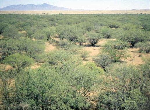
Indigenous Sonora at Contact (Part 1)
Located in northwestern Mexico, Sonora shares 588 kilometers of border with the United States, specifically with the States of Arizona and New Mexico. The state also shares a common border with the Mexican states of Chihuahua (on the east), Sinaloa (on the southeast), and Baja California (on the northwest). Sonora also shares a long shoreline along the Gulf of California.

Are You Related to the Aztecs?: The Uto-Aztecan Languages
For five centuries, North Americans have been fascinated and intrigued by stories of the magnificent Aztec Empire. This extensive Mesoamerican Empire was in its ascendancy during the late Fifteenth and early Sixteenth Centuries. The Aztec Empire of 1519 was the most powerful Mesoamerican kingdom of all time. This multi-ethnic, multi-lingual realm stretched for more than 80,000 square miles through many parts of what are now central and southern Mexico.

Indigenous Querétaro de Arteaga: Land of the Otomies
The Mexican state of Querétaro de Arteaga ‒ located near the center of the Mexican Republic ‒ is bordered on the west and northwest by Guanajuato, on the northwest by San Luis Potosí, on the east by Hidalgo, on the southeast by the State of México and on the southwest by Michoacán de Ocampo. Querétaro is one of the smallest Mexican states, containing only 11,699 square kilometers (4,518 square miles), occupying only 0.6% of the national territory and ranked 27th out of 32 states and the Distrito Federal. Politically, the state is divided into 18 municipios.

Indigenous Zacatecas: From Contact to the Present Day
The present state of Zacatecas is located at the geographical center of Mexico. Its shares borders with eight states: Coahuila de Zaragoza (on the north), Durango (on the west), Nayarit (on the southwest, Jalisco and Aguascalientes (on the south), Guanajuato (on the southeast), San Luis Potosí (on the west) and Nuevo León (on the northwest). As the eighth largest state of Mexico, Zacatecas has a square area of 75,284 square kilometers, equal to 3.84% of the national territory. The State of Zacatecas is divided into fifty-eight municipios, with the City of Zacatecas as its capital. Its territory lies wholly within the central plateau and is traversed by Sierra Madre Occidental mountain ranges.

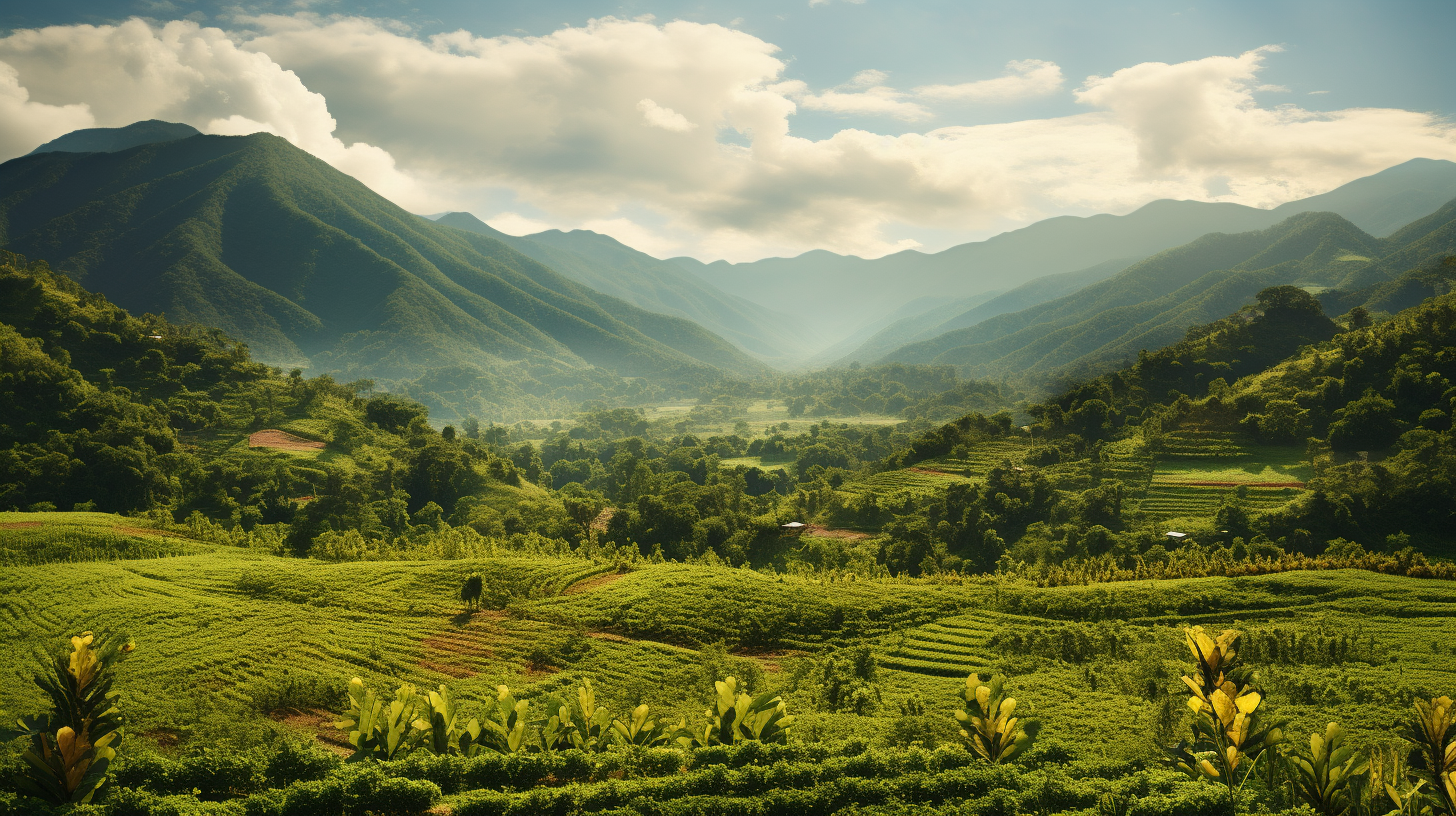
Indigenous Nayarit: Resistance in the Sierra Madre
The Sovereign State of Nayarit, located in northwestern Mexico, is surrounded by Jalisco on the south and east, Zacatecas and Durango on the northeast and Sinaloa on the northwest. On its west is the Pacific Ocean. With an area of 27,857 square kilometers, Nayarit takes up 1.4% of the national territory of Mexico and is the 23rd largest state. In fact, Nayarit is one of Mexico’s smallest states; only Aguascalientes, Colima, Morelos, Tlaxcala and the Federal District are smaller.
Article Categories
- Aguascalientes 10
- Arizona 4
- Baja California 5
- Baja California Sur 2
- California 14
- Campeche 5
- Census 32
- Chiapas 4
- Chihuahua 13
- Coahuila 8
- Colima 1
- Conquistador Chronicles 1
- Durango 2
- Ethnic Identity 31
- Genealogy 32
- Guanajuato 7
- Guerrero 8
- Hidalgo 2
- Indigenous Insights 91
- Jalisco 21
- Mexico City 9
- Michoacan 5
- Morelos 4
- Nayarit 3
- New Mexico 3
- Nuevo Leon 7
- Oaxaca 5
- Politics 9
- Puebla 5
- Queretaro 1
- Quintana Roo 5
- San Luis Potosi 9
- Sinaloa 5
- Sonora 16
- Southwest US 23
- State of Mexico 6
- Tabasco 4
- Tamaulipas 11
- Texas 6
- Tlaxcala 6
- Veracruz 7
- Yucatan 5
- Zacatecas 11