Articles

Mexican States
Southwest United States
Heritage and Governance
Mexican Politics: Part 1 (The Struggle for Independence)
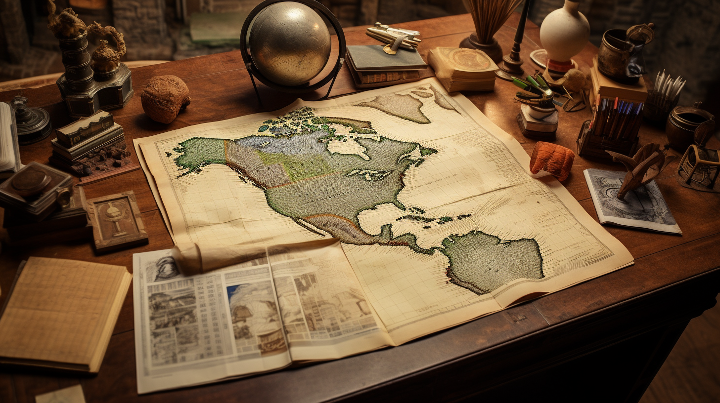
At the beginning of the Nineteenth Century, Mexico was a colony of Spain, a European nation located approximately 5,500 miles (8,850 kilometers) from its Gulf Coast shoreline. In 1810, the Spanish Empire consisted of 13.7 million square kilometers (5.3 million square miles) and occupied 9.2% of the world’s land area, most of which was in the Americas. Spain had the fifth largest empire in world history.
A Century of Turmoil: Mexico’s Social and Political Process
The Spanish Empire got off to a bad start at the beginning of the Nineteenth Century. In addition to her Caribbean, Central American, and Mexican possessions, Spain had gained possession of France’s extensive Louisiana territory in 1769. However, in 1800, Emperor Napoleon of France forced Spain to return Louisiana to France by the Treaty of San Ildefonso. Three years later, France sold Louisiana to the United States.
Indigenous Durango: Land of the Tepehuanes
The State of Durango is a landlocked state located in northwestern Mexico. As the fourth largest state of the Mexican Republic, Durango covers an area of 123,317 square kilometers and takes up 6.3% of the national territory. The state has common boundaries with Chihuahua and Coahuila de Zaragoza on the north, Zacatecas on the east and southeast, Nayarit on the southwest, and Sinaloa on the west. Politically, Durango is divided into 39 municipalities.
The First Families of Los Angeles
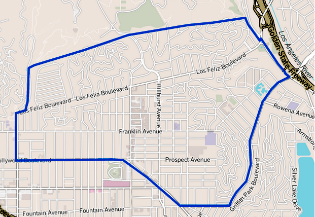
Has your family lived in Los Angeles for many generations? Do you have any of the following surnames: Verdugo, Sepulveda, Avila, Rosas, Higuera, Lugo, Domínguez, Serrano, Olivas, Ybarra, Palomares, Rodríguez, Reyes, Romero, Valenzuela, Pico or Feliz? Or did you or your family come from the states of Sinaloa or Sonora?
The Féliz Family: Pioneers of Los Angeles
The raw materials of Spain’s settlement of California were Mexican soldiers. These soldiers were men who left behind their parents and siblings in Sinaloa and Sonora to serve on the northern outskirts of Spain’s empire during the 1770s and 1780s. One family that contributed several soldiers to Spain’s colonial effort was the Féliz family of Álamos, Sonora.
Indigenous Quintana Roo: The Last Two Centuries (Part 2)
The State of Quintana Roo lies on the eastern end of the Yucatán Peninsula in Southeastern Mexico. Quintana Roo also neighbors the Mexican States of Yucatán (on the northwest) and Campeche (on the southwest) and the nations of Belize and Guatemala (on the south). The state consists of only 44,825 square kilometers, which is equal to 2.0% of the national land mass. While the western and northern coasts of the Yucatán Peninsula are on the Gulf of Mexico coast, the eastern coast of the Yucatán — including Quintana Roo — touches the Caribbean Sea.
Indigenous Quintana Roo: From the Pre-Hispanic Period through the Colonial Period (Part 1)
The State of Quintana Roo lies on the eastern end of the Yucatán Peninsula in Southeastern Mexico. Quintana Roo also neighbors the Mexican States of Yucatán (on the northeast) and Campeche (on the southeast) and the nations of Belize and Guatemala (on the south). The state consists of only 44,825 square kilometers, which is equal to 2.0% of the national land mass. While the western and northern coasts of the Yucatán Peninsula are on the Gulf of Mexico coast, the eastern coast of the peninsula — including Quintana Roo — touches the Caribbean Sea.
Indigenous Sinaloa: From the Colonial Period to the Present (Part 2)
The State of Sinaloa, with a surface area of 58,200 square kilometers (22,471 square miles) is basically a narrow strip of land running along the Pacific Ocean and represents only 2.9% of the national territory, ranking it as the 17th largest state. Sinaloa is bordered to the north by Sonora and Chihuahua; to the south, by Nayarit; to the east by Durango, and to the west, by the Gulf of California.
Indigenous Colima: Past and Present
Colima is the third smallest of Mexico’s thirty-two states, and has a larger area than only Aguascalientes, Morelos, Tlaxcala and the Federal District. This state lies in western Mexico and is surrounded by the states of Michoacán de Ocampo on the southwest and Jalisco on the north. It also shares a 157-kilometer shoreline along the Pacific Ocean.
Estado de Mexico’s Indigenous Past and Present
The State of México is located in the center-south section of the Mexican Republic. This landlocked state has common boundaries with Querétaro de Arteaga and Hidalgo on the north, Puebla and Tlaxcala on the east, Distrito Federal, Guerrero and Morelos on the south and Michoacán de Ocampo on the west. The capital of México is Toluca de Lerdo, which had a population of 819,561 in 2010, making it the fifth largest city in the entire Republic of México.
Oaxaca: A Land of Amazing Diversity
Most Americans have heard of Oaxaca and its copious diversity. Usually this knowledge is spread by word of mouth or through informative newspaper and magazine articles. However, Mexico’s census Mexico’s Census Agency — the Instituto Nacional de Estadística y Geografía (INEGI) — known to Americans as the National Institute of Statistics and Geography — is the original source for much of the census data regarding Indigenous Mexican languages today. And this information will be outlined below.
Indigenous Jalisco: A History
Nueva Galicia’s Indigenous People
Established in 1548, the Spanish province of Nueva Galicia embraced 180,000 kilometers and included most of present-day Jalisco, Nayarit, Aguascalientes and Zacatecas. Across this broad range of territory, a wide array of indigenous groups lived during the Sixteenth Century.
Zacatecas: Land of the Chichimecas
As the eighth largest state of Mexico, Zacatecas has a square area of 75,284 square kilometers (29,067 square miles), equal to 3.84% of the national territory. The State of Zacatecas is divided into fifty-eight municipios, with the City of Zacatecas as its capital.
Michoacán: The Purépecha Struggle for Freedom
The State of Michoacán de Ocampo occupies 58,599 square kilometers and is the sixteenth largest state in Mexico, taking up 3.0% of the national territory.
Indigenous Guanajuato: Los Antepasados de Los Guanajuatenses
Guanajuato is a relatively small state – twenty-second in terms of size among the Republic’s states – with a surface area of 30,608 square kilometers of territory, giving it 1.6% of the national territory. Politically, the State is divided into 46 municipios. Guanajuato’s 2010 population was 5,853,677, representing 4.9% of Mexico’s total population and ranking six among the 31 states and the Distrito Federal.
Early Southern California History (1769-1800)
This presentation explores the original Spanish settlement of Southern California in the late 18th Century, as well as the large number of indigenous communities that existed in the area. Of special interest will be the Expedition of 1781 from Álamos, Sonora, which led to the establishment of Los Angeles, San Buenaventura and Santa Barbara.
The Native Roots of Southern Californians
On September 4, 1781, 44 pobladores (settlers) arrived at a location 9 miles west of the San Gabriel Mission to establish California’s second pueblo: El Pueblo de Nuestro Señora la Reina de Los Angles del Río de Porciúncula or The Town of Our Lady the Queen of Angeles by the River of Porciúncula. Later, the name was shortened to Los Angeles. When the 44 settlers arrived in Los Angeles, they and their families settled a short distance from a Kizh Nation village called Yang-na (now referred to as Yaanga) — now near the intersection of Alameda and Commercial Streets (south of the 101) — where 300 natives already lived.
Tracing Your Indigenous Roots in Sonora: A Challenge and an Adventure
In recent years, many Americans have taken an interest in their indigenous roots from northern Mexico. From the Late Eighteenth Century to the present, significant numbers of people from the State of Sonora migrated to Los Angeles and other areas of California.
The Caxcanes of Nochistlán: Defenders of Their Homeland
Throughout human history, many groups of people have witnessed the arrival of aliens from far away countries in their traditional homeland territories. Responses to such intrusions have varied from century to century, continent to continent and from one people to another. In most cases, the invader intruded upon the economy, the resources and the political administration of the indigenous peoples. And all too often, the invader dominates and enslaves the people. Other occupations are less dramatic.
Indigenous Baja California: The Rarest of the Rare
The Baja California Peninsula is located in the northwestern portion of the Mexican Republic. This body of land extends approximately 775 miles (1,250 kilometers) from Tijuana in the north to Cabo San Lucas in the south and is separated from the rest of Mexico by the Gulf of California (also called the sea of Cortés).

Article Categories
- Aguascalientes 14
- Arizona 4
- Baja California 6
- Baja California Sur 2
- California 16
- Campeche 5
- Census 34
- Chiapas 4
- Chihuahua 14
- Coahuila 8
- Colima 1
- Conquistador Chronicles 2
- Durango 2
- Ethnic Identity 37
- Genealogy 34
- Guanajuato 8
- Guerrero 8
- Hidalgo 2
- Indigenous Insights 93
- Jalisco 25
- Mexico City 11
- Michoacan 7
- Morelos 4
- Nayarit 3
- New Mexico 3
- Nuevo Leon 7
- Oaxaca 6
- Politics 10
- Puebla 5
- Queretaro 1
- Quintana Roo 5
- San Luis Potosi 11
- Sinaloa 6
- Sonora 17
- Southwest US 24
- State of Mexico 6
- Tabasco 4
- Tamaulipas 11
- Texas 6
- Tlaxcala 7
- Veracruz 7
- Yucatan 6
- Zacatecas 13


